U.S. Hourly Population Maps
Fine-grained estimates of hourly population in roughly 220,000 U.S. census block groups during 2022.
We are excited to share the first large-scale fine-grained hourly population dataset (per our knowledge😊)! This dataset contains dynamic populations of all the United States’ 220,000 neighborhoods (Census block groups) for 8,760 hours in 2022. In other words, a population map for each hour, and 8,760 maps in total! We compared the hourly population with reported or estimated visitor counts in 11 events or places, and the match is promising.
More details can be found in our paper “Nationwide Hourly Population Estimating at the Neighborhood Scale in the United States Using Stable-Attendance Anchor Calibration”. The paper will be released soon! We expect the proposed statistical approach to be widely used to estimate the dynamic population in the future. Millions of thanks to the research team: Huan Ning, Zhenlong Li, Manzhu Yu, Xiao Huang, Shiyan Zhang, and Shan Qiao!
This product has a lot of applications, such as environmental exposure assessment, emergency response, and social resilience analysis. This study is based on the human mobility big data derived from smartphone ping data, released by Advan Research.
Please get in touch with the research team with any questions.
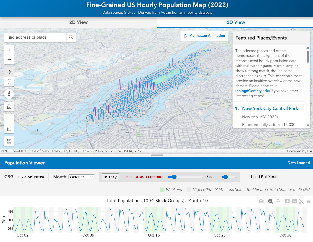
We strongly recommend using this website to view the dataset. You can select any neighborhoods (Census block groups) to check their hourly populations and find interesting cases. For example, please check local festivals you know about or the peak seasons for attractions. 3D animation is also supported!
Site link: Fine-Grained US Hourly Population Map (2022)
Resources